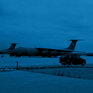
San Bernardino International Airport Inland Valley Development Agency
San Bernardino, CA
HKA served as the Base Civil Engineer for about 7 years and provided on-call surveying and civil engineering services for several additional years.
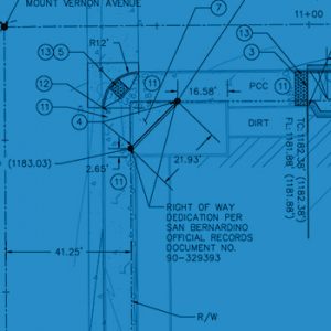
HKA’s staff was responsible for providing surveying services for topographic and aerial mapping of the entire 2,100 acres of property that comprised the former Norton Air Force Base using GPS surveying. This required research of both County and Air Force documentation. Surveying of the existing airfield included establishing vertical and horizontal control along the entire length of the 10,800-foot runway.
Other surveying services included location and mapping of existing utilities and jet fuel lines, location and mapping of existing storm drain systems and drainage patterns within the airfield. This required coordination with the control tower and airport staff in order to comply with FAA regulations for operations on an active airfield.

