French Valley Airport
Temecula, CA
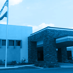
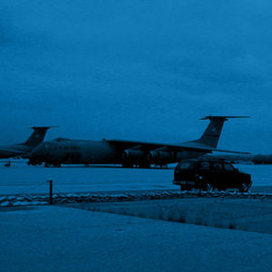
HKA provided the surveying and aerial mapping for the development of the French Valley Airport for over 5-years. Improvements included a new taxiway, tarmac, and hangars.
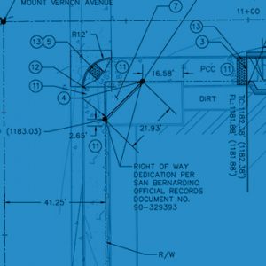
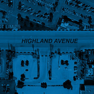
The survey included establishing control, boundary mapping, cross sections, aerial mapping control, as-built documentation, and survey monumentation to facilitate the development of new taxiway, tarmac, and hangar locations. This required HKA survey crews to gain access to runway areas. HKA coordinated with the County of Riverside Aviation Division and airport staff in order to comply with FAA regulations.
[social_warfare]

